2024 Map of Macon NE
USGS Topo · Published 2024About this map
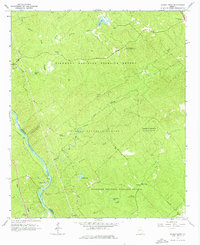
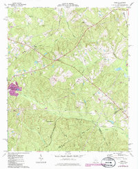
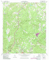
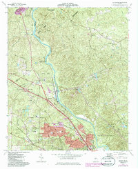
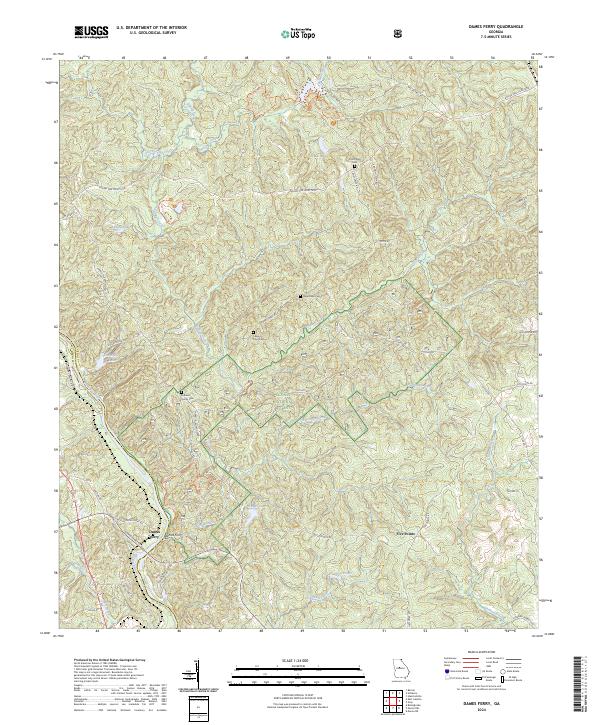
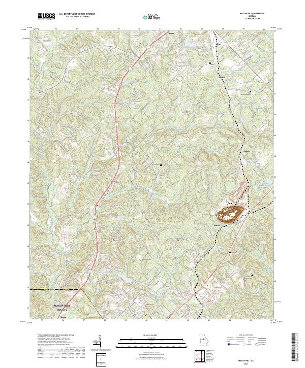
Clinton and Gray anchor the northern landscape of this region, where the Jones Co Bibb Co line marks the transition toward the northern reaches of Macon. The area is defined by a dense network of private water bodies and minor drainages, including Anderson Lake, Newberry Lake, and Lake Tonowanda. This hydrological pattern, combined with numerous family and community burial grounds such as Walker-Pitts Cem and the Harris Cem, suggests a long-standing pattern of rural landholding and family estates. Large-scale industrial activity is evidenced by the Martin-Marietta Lake and the Henderson Stripling Cem area, while the expansive Middle Georgia Memorial Gardens near the southern border serves as a significant modern landmark. Smaller settlements like Morton, Postell, and Cumslo are connected by a web of local roads that navigate the subtle rise of Hampton Hill and the many branches of Walnut Creek.
Find a feature on this map
182 named features on this map. Tap any name to fly to it.
Don’t see what you’re looking for? This feature index may not catch every label — zoom into the map to look around manually.
Map Details
Editions of this 2024 Macon NE Map
This is the sole edition of this map. No revisions or reprints were ever made.
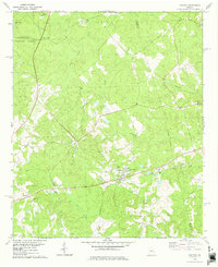
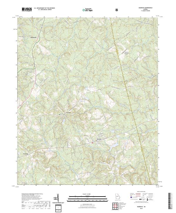
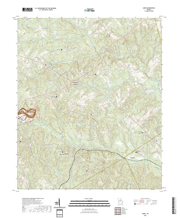
Historical Maps of Macon Through Time
10 maps found