Loading...
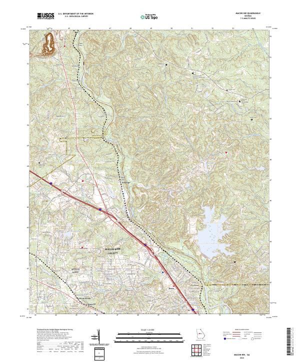
Loading map...2024 Map of Macon NW
USGS Topo · Published 2024About this map
The Ocmulgee River carves through this northern Georgia landscape, serving as a natural boundary between Monroe, Bibb, and Jones Counties. The area is characterized by the transition from the protected woodlands of the Piedmont National Wildlife Refuge in the north to the expanding residential developments of Wesleyan Estates and Wesleyan Woods near Macon. Along the river, historical crossing points and river features like Popes Ferry and Toms Shoals anchor the geography.
Find a feature on this map
196 named features on this map. Tap any name to fly to it.
Don’t see what you’re looking for? This feature index may not catch every label — zoom into the map to look around manually.
Map Details
Date Portrayed2024
Date Published2024
PublisherU.S. Geological Survey
Map TypeTopographic
Scale1:24000
Physical Dimensions24 x 29 inches
Editions of this 2024 Macon NW Map
This is the sole edition of this map. No revisions or reprints were ever made.
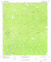
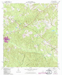
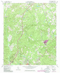
Historical Maps of Macon Through Time
10 maps found
Featured Locations
Source Details
SourceU.S. Geological Survey
CopyrightPublic Domain