2024 Map of Macon West
USGS Topo · Published 2024About this map
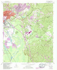
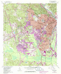
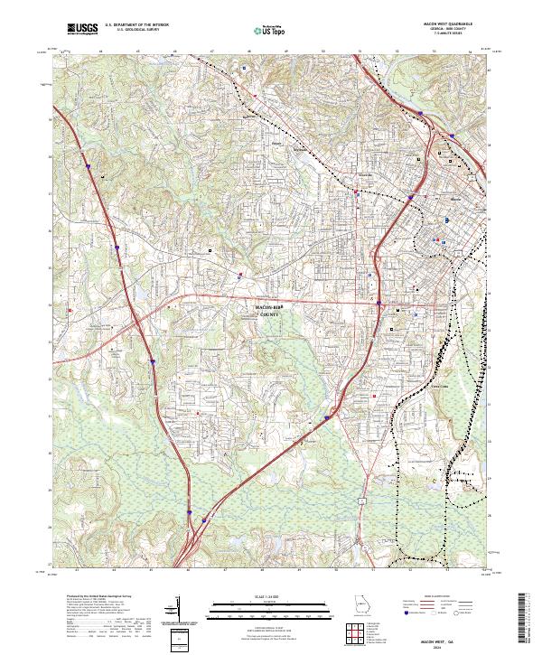
The Ocmulgee River curves through the northeastern edge of this Bibb County landscape, providing a natural boundary for the city of Macon. This modern survey reveals a dense urban and suburban network where long-established neighborhoods like Vineville, Bellevue, and Ingleside sit alongside major academic institutions including Mercer University and Wesleyan College. The topography is marked by several smaller drainages such as Rocky Creek, Wolf Creek, and Tobesofkee Creek, which flow through the rolling terrain west of the city center.
Find a feature on this map
351 named features on this map. Tap any name to fly to it.
Don’t see what you’re looking for? This feature index may not catch every label — zoom into the map to look around manually.
Map Details
Editions of this 2024 Macon West Map
This is the sole edition of this map. No revisions or reprints were ever made.
Historical Maps of Ingleside Through Time
8 maps found