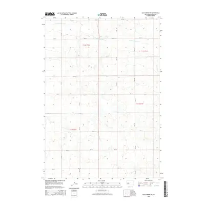
2015 Map of Macs Corner NW
USGS Topo · Published 2015About this map
S Fork Medicine Knoll Cr meanders across the northern reaches of this Hyde County landscape, defining the local drainage patterns in a region characterized by section-line roads and rolling prairies. The geography is etched by several prominent north-south thoroughfares, including 335th Ave and 338th Ave, which serve the expansive agricultural tracts within the townships of t112n r72w and t112n r71w. Further south, the headwaters of Chapelle Cr emerge near 204th St, marking the subtle shift in the watershed towards the Missouri River basin. This survey documents the persistent grid of South Dakota's rural infrastructure, where gravel roads like 199th St delineate large-scale ranching and farming boundaries that have remained largely unchanged for generations.
Find a feature on this map
19 named features on this map. Tap any name to fly to it.
Don’t see what you’re looking for? This feature index may not catch every label — zoom into the map to look around manually.
Map Details
Editions of this 2015 Macs Corner NW Map
This is the sole edition of this map. No revisions or reprints were ever made.
Other maps of this area

1950 · Highmore
USGS Topo · 1:24,000

1950 · Highmore SE
USGS Topo · 1:24,000

1953 · Huron
USGS Topo · 1:250,000

1954 · Huron
USGS Topo · 1:250,000

1968 · Holabird
USGS Topo · 1:24,000

1973 · Chapelle Lake SE
USGS Topo · 1:24,000

1973 · Macs Corner NE
USGS Topo · 1:24,000

1973 · Macs Corner SE
USGS Topo · 1:24,000

1973 · Chapelle Lake
USGS Topo · 1:24,000

1973 · Macs Corner
USGS Topo · 1:24,000