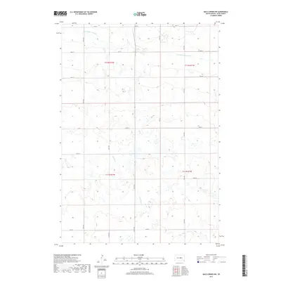
2017 Map of Macs Corner NW
USGS Topo · Published 2017About this map
The rolling hills and prairie wetlands of central South Dakota define this landscape, where the drainage systems of S Fork Medicine Knoll Cr and Chapelle Cr carve subtle pathways through Hyde County. This 2017 survey shows a region deeply rooted in the Public Land Survey System, with the boundaries of t112n r72w, t112n r71w, t111n r72w, and t111n r71w dictating the placement of the section-line roads that dominate the territory. The map reveals an intricate network of local connectors including 199th St and 207th St, which provide access to a terrain marked by numerous small depressions and wetland pockets. This specific arrangement of water and road suggests a persistent agricultural and ranching environment where the movement of water across the open prairie remains a central feature of the land's character.
Find a feature on this map
18 named features on this map. Tap any name to fly to it.
Don’t see what you’re looking for? This feature index may not catch every label — zoom into the map to look around manually.
Map Details
Editions of this 2017 Macs Corner NW Map
This is the sole edition of this map. No revisions or reprints were ever made.
Other maps of this area

1950 · Highmore
USGS Topo · 1:24,000

1950 · Highmore SE
USGS Topo · 1:24,000

1953 · Huron
USGS Topo · 1:250,000

1954 · Huron
USGS Topo · 1:250,000

1968 · Holabird
USGS Topo · 1:24,000

1973 · Chapelle Lake SE
USGS Topo · 1:24,000

1973 · Macs Corner NE
USGS Topo · 1:24,000

1973 · Macs Corner SE
USGS Topo · 1:24,000

1973 · Chapelle Lake
USGS Topo · 1:24,000

1973 · Macs Corner
USGS Topo · 1:24,000