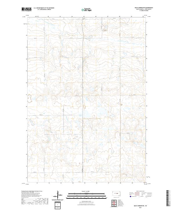
2021 Map of Macs Corner NW
USGS Topo · Published 2021About this map
S Fork Medicine Knoll Cr flows through the northern reaches of this Hyde County landscape, marking the subtle drainage patterns of the Missouri Plateau. This 2021 survey reveals a vast section of the South Dakota prairie defined by a rigid grid of rural roads, including 201st St and 337th Ave, which delineate the township and range boundaries of t112n r72w and its neighbors. The seasonal waters of Chapelle Cr meander through the southern half, surrounded by numerous small prairie potholes and wetlands typical of this glaciated terrain. The map provides a clear look at the modern agricultural layout, where the intersection of traditional land survey lines meets the natural hydrology of the Great Plains.
Find a feature on this map
19 named features on this map. Tap any name to fly to it.
Don’t see what you’re looking for? This feature index may not catch every label — zoom into the map to look around manually.
Map Details
Editions of this 2021 Macs Corner NW Map
This is the sole edition of this map. No revisions or reprints were ever made.
Other maps of this area

1950 · Highmore
USGS Topo · 1:24,000

1950 · Highmore SE
USGS Topo · 1:24,000

1953 · Huron
USGS Topo · 1:250,000

1954 · Huron
USGS Topo · 1:250,000

1968 · Holabird
USGS Topo · 1:24,000

1973 · Chapelle Lake SE
USGS Topo · 1:24,000

1973 · Macs Corner NE
USGS Topo · 1:24,000

1973 · Macs Corner SE
USGS Topo · 1:24,000

1973 · Chapelle Lake
USGS Topo · 1:24,000

1973 · Macs Corner
USGS Topo · 1:24,000