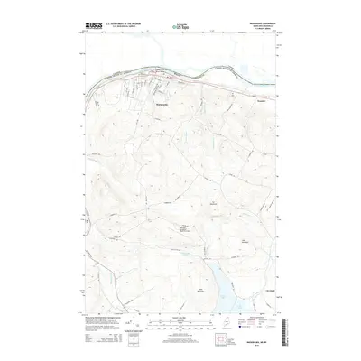
2014 Map of Madawaska
USGS Topo · Published 2014About this map
The Saint John River defines the international boundary between Maine and Canada, anchoring the northern edge of this Aroostook County landscape. The Upper Saint John River Valley is characterized by its high concentration of French-Acadian heritage, visible in the settlement patterns of Madawaska, Fournier, and Cleveland. To the south, the terrain rises into prominent peaks such as Cyr Mountain, Lake Mountain, and Morin Mountain, which overlook the northern reaches of Long Lake.
Find a feature on this map
72 named features on this map. Tap any name to fly to it.
Don’t see what you’re looking for? This feature index may not catch every label — zoom into the map to look around manually.
Map Details
Editions of this 2014 Madawaska Map
This is the sole edition of this map. No revisions or reprints were ever made.
Other maps of this area

1927 · Stockholm
USGS Topo · 1:48,000

1927 · Square Lake
USGS Topo · 1:48,000

1931 · Square Lake
USGS Topo · 1:62,500

1931 · Stockholm
USGS Topo · 1:62,500

1932 · Frenchville
USGS Topo · 1:48,000

1935 · Frenchville
USGS Topo · 1:62,500

1938 · Grand Isle
USGS Topo · 1:62,500

1940 · Grand Isle
USGS Topo · 1:62,500

1953 · Stockholm
USGS Topo · 1:62,500

1953 · Square Lake
USGS Topo · 1:62,500