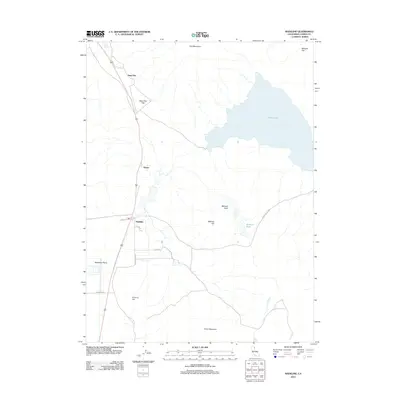
2012 Map of Madeline
USGS Topo · Published 2012About this map
The high desert basins of Lassen County define this landscape, where the wide expanse of the Madeline Plains meets the volcanic uplands of the Modoc Plateau. The small settlement of Madeline serves as a central point along the highway corridor, situated near the junctions of Main St, Olson Rd, and Mendiboure Rd. To the north, the geography transitions into a series of named flats and peaks, including Sage Hen Flat and the prominent Tule Mountain.
Find a feature on this map
20 named features on this map. Tap any name to fly to it.
Don’t see what you’re looking for? This feature index may not catch every label — zoom into the map to look around manually.
Map Details
Editions of this 2012 Madeline Map
This is the sole edition of this map. No revisions or reprints were ever made.
Other maps of this area

1886 · Alturas
USGS Topo · 1:250,000

1886 · Honey Lake
USGS Topo · 1:250,000

1891 · Honey Lake
USGS Topo · 1:250,000

1892 · Alturas
USGS Topo · 1:250,000

1893 · Honey Lake
USGS Topo · 1:250,000

1954 · Grasshopper Valley
USGS Topo · 1:62,500

1954 · Ravendale
USGS Topo · 1:62,500

1954 · Alturas
USGS Topo · 1:250,000

1955 · Westwood
USGS Topo · 1:250,000

1958 · Alturas
USGS Topo · 1:250,000