Loading...
Loading map...2021 Map of Madeline
USGS Topo · Published 2021About this map
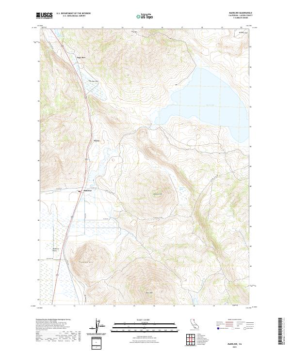
Madeline sits as a primary point of reference in this high-desert landscape of Lassen County, where the transition between volcanic peaks and expansive flats is clearly defined. The terrain is anchored by prominent elevations such as Tule Mtn, Mitchell Hill, and Olson Mtn, which overlook the broad, open Madeline Plains. Water features in this arid environment are critical markers, including the large basin of Moon Lake and the Smith Reservoir to the north.
Find a feature on this map
27 named features on this map. Tap any name to fly to it.
Don’t see what you’re looking for? This feature index may not catch every label — zoom into the map to look around manually.
Map Details
Date Portrayed2021
Date Published2021
PublisherU.S. Geological Survey
Map TypeTopographic
Scale1:24000
Physical Dimensions24 x 29 inches
Editions of this 2021 Madeline Map
This is the sole edition of this map. No revisions or reprints were ever made.
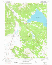
Historical Maps of Madeline Through Time
Featured Locations
Source Details
SourceU.S. Geological Survey
CopyrightPublic Domain