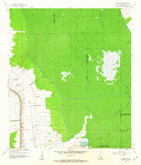
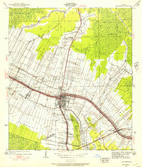
1962 Map of Madewood
USGS Topo · Published 1963About this map
Bayou Lafourche anchors this mid-century portrait of Assumption Parish, where the land-use patterns of the Louisiana sugar belt remain clearly visible. Settlement follows the natural levees of the bayou, with a linear string of named communities including Madewood, Elmfield, Albemarle, and Bertie. These hamlets are tightly integrated with the Texas and Pacific railroad, which parallels the water, and are punctuated by local landmarks like Mt Carmel Ch and Woodlawn Ch.
Find a feature on this map
28 named features on this map. Tap any name to fly to it.
Don’t see what you’re looking for? This feature index may not catch every label — zoom into the map to look around manually.
Map Details
Editions of this 1962 Madewood Map
4 editions found
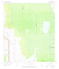
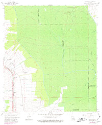
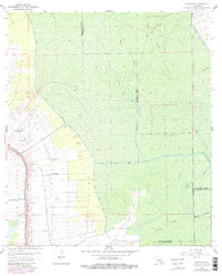
Other maps of this area

1892 · Donaldsonville
USGS Topo · 1:62,500

1892 · Thibodaux
USGS Topo · 1:62,500

1927 · Thibodaux NW
USGS Topo · 1:31,680

1932 · Thibodaux NE
USGS Topo · 1:31,680

1932 · Thibodaux SE
USGS Topo · 1:31,680

1932 · Thibodaux SW
USGS Topo · 1:31,680

1936 · White Castle
USGS Topo · 1:62,500

1938 · Labadieville
USGS Topo · 1:24,000
1938 · Lafourche
USGS Topo · 1:24,000

1939 · Donaldsonville
USGS Topo · 1:62,500