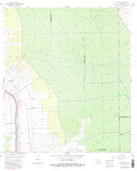
1962 Map of Madewood
USGS Topo · Published 1981About this map
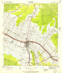
Bayou Lafourche anchors this South Louisiana landscape, its banks lined with the linear settlement patterns of historic plantations and small communities. Along the western corridor, the Texas and Pacific railroad parallels the waterway, connecting names like Madewood, Bertie, and Albemarle. The map reveals the intricate engineering of the sugar country, where a network of drainage ways including Baker Canal North, Baker Canal East, and Cancienne Canal manage the low-lying terrain. While the western portion shows concentrated development around Woodlawn Ch and Mt Carmel Ch, the eastern reaches of the quadrangle transition into the expansive wetlands of Bayou Verret and Bayou Traverse. This 1962 revision, updated with 1978 aerial data, documents the persistent agricultural character of the region alongside mid-century energy developments like the Burton Gas Field and various pipelines.
Find a feature on this map
30 named features on this map. Tap any name to fly to it.
Don’t see what you’re looking for? This feature index may not catch every label — zoom into the map to look around manually.
Map Details
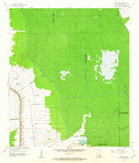
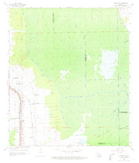
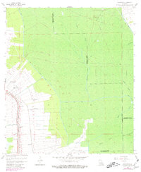
Editions of this 1962 Madewood Map
4 editions found
Other maps of this area

1892 · Donaldsonville
USGS Topo · 1:62,500

1892 · Thibodaux
USGS Topo · 1:62,500

1927 · Thibodaux NW
USGS Topo · 1:31,680

1932 · Thibodaux NE
USGS Topo · 1:31,680

1932 · Thibodaux SE
USGS Topo · 1:31,680

1932 · Thibodaux SW
USGS Topo · 1:31,680

1936 · White Castle
USGS Topo · 1:62,500

1938 · Labadieville
USGS Topo · 1:24,000
1938 · Lafourche
USGS Topo · 1:24,000

1939 · Donaldsonville
USGS Topo · 1:62,500