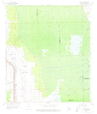
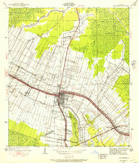
1962 Map of Madewood
USGS Topo · Published 1973About this map
Bayou Lafourche serves as the primary artery for settlement in this 1960s snapshot of Assumption Parish, where a dense corridor of communities follows the river's winding path. Historic names like Madewood, Elmfield, and Ingleside are clustered along the western bank, separated from the wilder swamp landscapes to the east by the Texas and Pacific railroad line. This transportation infrastructure reflects the area's agricultural and industrial evolution, linking sugar country to broader markets.
Find a feature on this map
31 named features on this map. Tap any name to fly to it.
Don’t see what you’re looking for? This feature index may not catch every label — zoom into the map to look around manually.
Map Details
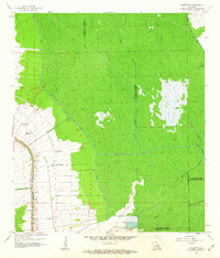
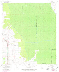
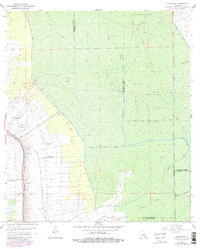
Editions of this 1962 Madewood Map
4 editions found
Other maps of this area

1892 · Donaldsonville
USGS Topo · 1:62,500

1892 · Thibodaux
USGS Topo · 1:62,500

1927 · Thibodaux NW
USGS Topo · 1:31,680

1932 · Thibodaux NE
USGS Topo · 1:31,680

1932 · Thibodaux SE
USGS Topo · 1:31,680

1932 · Thibodaux SW
USGS Topo · 1:31,680

1936 · White Castle
USGS Topo · 1:62,500

1938 · Labadieville
USGS Topo · 1:24,000
1938 · Lafourche
USGS Topo · 1:24,000

1939 · Donaldsonville
USGS Topo · 1:62,500