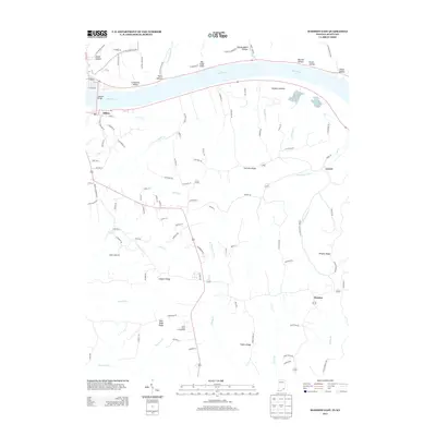
2013 Map of Madison East
USGS Topo · Published 2013About this map
The Ohio River serves as the dominant geographical boundary here, separating the riverfront settlement of Milton from the high, dissected bluffs on the Indiana shore. This 2013 survey illustrates the rugged transition from the river basin to the interior highlands, where prominent local elevations like Fairview Ridge and Leeport Ridge define the landscape. Numerous hollows, including Eagle Hollow, Dugan Hollow, and Lonesome Hollow, carve their way toward the river, while the Madison Bridge provides the primary crossing point between the two states.
Find a feature on this map
111 named features on this map. Tap any name to fly to it.
Don’t see what you’re looking for? This feature index may not catch every label — zoom into the map to look around manually.
Map Details
Editions of this 2013 Madison East Map
This is the sole edition of this map. No revisions or reprints were ever made.
Other maps of this area

1939 · Bethlehem
USGS Topo · 1:24,000

1939 · Madison West
USGS Topo · 1:24,000

1943 · Brooksburg
USGS Topo · 1:24,000

1948 · Bethlehem
USGS Topo · 1:24,000

1948 · Madison West
USGS Topo · 1:24,000

1952 · Campbellsburg
USGS Topo · 1:24,000

1953 · Madison West
USGS Topo · 1:24,000

1953 · Bedford
USGS Topo · 1:24,000

1953 · Carrollton
USGS Topo · 1:24,000

1953 · Madison East
USGS Topo · 1:24,000