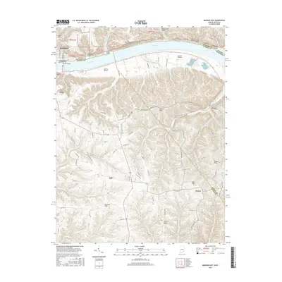
2016 Map of Madison East
USGS Topo · Published 2016About this map
The Ohio River carves a deep valley through this borderland, separating the city of Madison, Indiana, from the Kentucky shoreline. The historic river crossing via the Madison Bridge links the urban grid of Madison to the smaller settlement of Milton across the water. The landscape is defined by its dramatic relief, where steep drainage ravines like Dugan Hollow and Hardscrabble Hollow cut into the limestone uplands, and prominent features such as Big Cedar Cliffs overlook the river valley below.
Find a feature on this map
104 named features on this map. Tap any name to fly to it.
Don’t see what you’re looking for? This feature index may not catch every label — zoom into the map to look around manually.
Map Details
Editions of this 2016 Madison East Map
This is the sole edition of this map. No revisions or reprints were ever made.
Other maps of this area

1939 · Bethlehem
USGS Topo · 1:24,000

1939 · Madison West
USGS Topo · 1:24,000

1943 · Brooksburg
USGS Topo · 1:24,000

1948 · Bethlehem
USGS Topo · 1:24,000

1948 · Madison West
USGS Topo · 1:24,000

1952 · Campbellsburg
USGS Topo · 1:24,000

1953 · Madison West
USGS Topo · 1:24,000

1953 · Bedford
USGS Topo · 1:24,000

1953 · Carrollton
USGS Topo · 1:24,000

1953 · Madison East
USGS Topo · 1:24,000