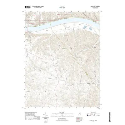
2019 Map of Madison East
USGS Topo · Published 2019About this map
Madison, Indiana, and Milton, Kentucky, face each other across the Ohio River in this 2019 survey, connected by the Madison Bridge. The Kentucky side is defined by a dense network of high ridges and deep hollows, including Leeport Ridge, Fishers Ridge, and Wrights Ridge, which channel drainage into complex creek systems like Corn Cr and the various branches of Locust Cr. This topography has historically dictated the placement of small agricultural settlements and family-named landmarks like Moffett Cem and the community of Hunters Bottom.
Find a feature on this map
96 named features on this map. Tap any name to fly to it.
Don’t see what you’re looking for? This feature index may not catch every label — zoom into the map to look around manually.
Map Details
Editions of this 2019 Madison East Map
This is the sole edition of this map. No revisions or reprints were ever made.
Other maps of this area

1939 · Bethlehem
USGS Topo · 1:24,000

1939 · Madison West
USGS Topo · 1:24,000

1943 · Brooksburg
USGS Topo · 1:24,000

1948 · Bethlehem
USGS Topo · 1:24,000

1948 · Madison West
USGS Topo · 1:24,000

1952 · Campbellsburg
USGS Topo · 1:24,000

1953 · Madison West
USGS Topo · 1:24,000

1953 · Bedford
USGS Topo · 1:24,000

1953 · Carrollton
USGS Topo · 1:24,000

1953 · Madison East
USGS Topo · 1:24,000