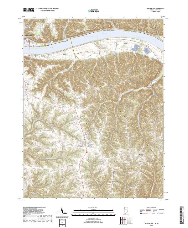
2022 Map of Madison East
USGS Topo · Published 2022About this map
The Ohio River carves a deep valley between Indiana and Kentucky, defining the geography of this border region. On the northern bank, the city of Madison sits at the base of dramatic terrain marked by Big Cedar Cliffs and a series of steep drainages like Eagle Hollow and Lonesome Hollow. Across the water in Kentucky, the settlement of Milton gives way to the expansive agricultural flats of Hunters Bottom.
Find a feature on this map
102 named features on this map. Tap any name to fly to it.
Don’t see what you’re looking for? This feature index may not catch every label — zoom into the map to look around manually.
Map Details
Editions of this 2022 Madison East Map
This is the sole edition of this map. No revisions or reprints were ever made.
Other maps of this area

1939 · Bethlehem
USGS Topo · 1:24,000

1939 · Madison West
USGS Topo · 1:24,000

1943 · Brooksburg
USGS Topo · 1:24,000

1948 · Bethlehem
USGS Topo · 1:24,000

1948 · Madison West
USGS Topo · 1:24,000

1952 · Campbellsburg
USGS Topo · 1:24,000

1953 · Madison West
USGS Topo · 1:24,000

1953 · Bedford
USGS Topo · 1:24,000

1953 · Carrollton
USGS Topo · 1:24,000

1953 · Madison East
USGS Topo · 1:24,000