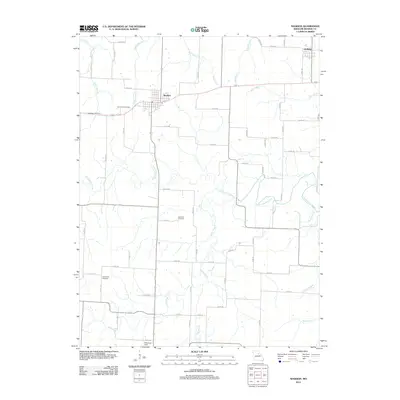
2012 Map of Madison
USGS Topo · Published 2012About this map
The agricultural landscape of Monroe County is defined by the winding course of the Elk Fork Salt River, which cuts diagonally across this central Missouri territory. The town of Madison serves as the primary hub, surrounded by a dense network of county roads that navigate the complex drainage systems of Allen Creek, Briar Creek, and Pedee Branch. Genealogy and local history are anchored by several notable burial grounds, including Sunset Hill Cemetery near the town center and more remote sites like Old Prairie Cemetery to the southwest.
Find a feature on this map
72 named features on this map. Tap any name to fly to it.
Don’t see what you’re looking for? This feature index may not catch every label — zoom into the map to look around manually.
Map Details
Editions of this 2012 Madison Map
This is the sole edition of this map. No revisions or reprints were ever made.
Other maps of this area

1890 · Moberly
USGS Topo · 1:125,000

1908 · Macon
USGS Topo · 1:62,500

1910 · Macon
USGS Topo · 1:62,500

1952 · Middle Grove
USGS Topo · 1:24,000

1953 · Moberly
USGS Topo · 1:250,000

1953 · Clark
USGS Topo · 1:24,000

1954 · Moberly
USGS Topo · 1:250,000

1957 · Moberly
USGS Topo · 1:250,000

1958 · Tulip
USGS Topo · 1:24,000
1959 · Woodlawn
USGS Topo · 1:24,000