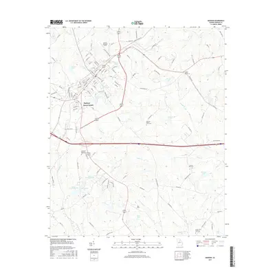
2017 Map of Madison
USGS Topo · Published 2017About this map
Madison stands as the primary hub of this Morgan County landscape, surrounded by a complex network of suburban and rural developments. The area is characterized by numerous small bodies of water and significant religious landmarks, including Smyrna Baptist Church Cem and Plainview Baptist Church Cem. Transport and infrastructure are centered around the Madison Municipal Airport and the modern residential layout of Beacon Heights. The topography is defined by the branching paths of N Sugar Cr and S Sugar Cr, which dictate the placement of local roads like Barrows Grove Rd and Bethany Rd. Genealogists will find interest in the scattered burial grounds such as Barrows Grove Cem and Bethlehem Baptist Church Cem, which serve as quiet anchors for the region's long-standing community history.
Find a feature on this map
122 named features on this map. Tap any name to fly to it.
Don’t see what you’re looking for? This feature index may not catch every label — zoom into the map to look around manually.
Map Details
Editions of this 2017 Madison Map
This is the sole edition of this map. No revisions or reprints were ever made.
Other maps of this area

1896 · Monroe
USGS Topo · 1:125,000

1953 · Athens
USGS Topo · 1:250,000

1958 · Athens
USGS Topo · 1:250,000

1959 · Athens
USGS Topo · 1:250,000

1963 · Athens
USGS Topo · 1:250,000

1971 · Rutledge North
USGS Topo · 1:24,000

1972 · Buckhead
USGS Topo · 1:24,000

1972 · Shady Dale
USGS Topo · 1:24,000

1972 · Apalachee
USGS Topo · 1:24,000

1972 · Harmony
USGS Topo · 1:24,000