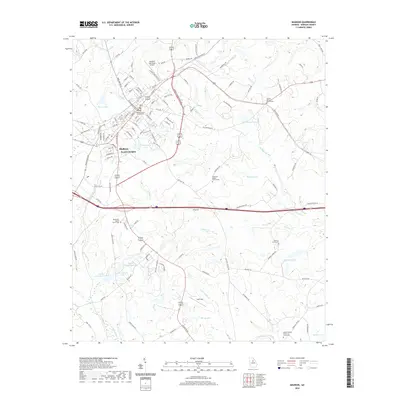
2020 Map of Madison
USGS Topo · Published 2020About this map
Madison serves as the focal point of this Morgan County landscape, centered around the Morgan County Courthouse and extending through neighborhoods like Beacon Heights. The area is characterized by a dense network of water bodies and tributaries, including Pennington Lake, Strange Lake, and the winding paths of N Sugar Cr and S Sugar Cr. Transport infrastructure is prominently featured, with the Madison Municipal Airport and Airport Industrial Blvd indicating modern development alongside traditional rural landmarks.
Find a feature on this map
132 named features on this map. Tap any name to fly to it.
Don’t see what you’re looking for? This feature index may not catch every label — zoom into the map to look around manually.
Map Details
Editions of this 2020 Madison Map
This is the sole edition of this map. No revisions or reprints were ever made.
Other maps of this area

1896 · Monroe
USGS Topo · 1:125,000

1953 · Athens
USGS Topo · 1:250,000

1958 · Athens
USGS Topo · 1:250,000

1959 · Athens
USGS Topo · 1:250,000

1963 · Athens
USGS Topo · 1:250,000

1971 · Rutledge North
USGS Topo · 1:24,000

1972 · Buckhead
USGS Topo · 1:24,000

1972 · Shady Dale
USGS Topo · 1:24,000

1972 · Apalachee
USGS Topo · 1:24,000

1972 · Harmony
USGS Topo · 1:24,000