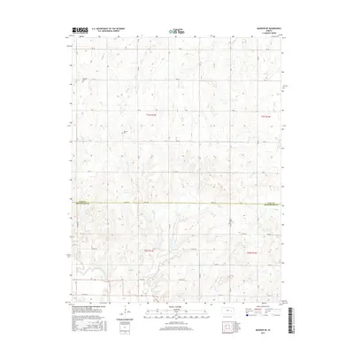
2015 Map of Madison NE
USGS Topo · Published 2015About this map
The borderlands of Lyon and Greenwood Counties in eastern Kansas are defined by a rhythmic pattern of prairie drainage and a rigid agricultural grid. The southern portion of this landscape is dominated by the Verdigris River, which gathers waters from numerous local tributaries including Halderman Cr, Hoosier Cr, and Harper Cr. These waterways carve subtle relief into the terrain, influencing the placement of local infrastructure and historical sites.
Find a feature on this map
37 named features on this map. Tap any name to fly to it.
Don’t see what you’re looking for? This feature index may not catch every label — zoom into the map to look around manually.
Map Details
Editions of this 2015 Madison NE Map
This is the sole edition of this map. No revisions or reprints were ever made.
Other maps of this area

1885 · Burlington
USGS Topo · 1:125,000

1888 · Emporia
USGS Topo · 1:125,000

1894 · Emporia
USGS Topo · 1:125,000

1894 · Burlington
USGS Topo · 1:125,000

1947 · Lawrence
USGS Topo · 1:250,000

1950 · Lawrence
USGS Topo · 1:250,000

1955 · Hutchinson
USGS Topo · 1:250,000

1956 · Lawrence
USGS Topo · 1:250,000

1959 · Hutchinson
USGS Topo · 1:250,000

1961 · Lawrence
USGS Topo · 1:250,000