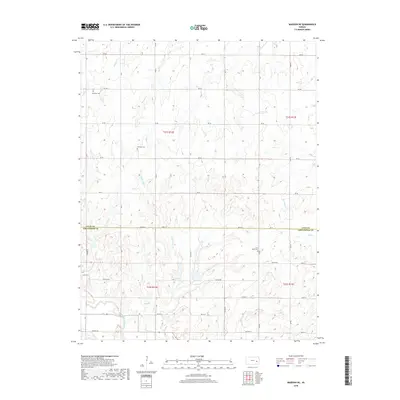
2018 Map of Madison NE
USGS Topo · Published 2018About this map
Verdigris River tributaries carve through the rolling flint hills of the Kansas prairie, defining a landscape marked by sectional grid roads and scattered rural landmarks. This 2018 survey captures the borderlands where Lyon and Greenwood counties meet, showing a terrain predominantly shaped by watercourses like Harper Creek, Hoosier Creek, and Halderman Creek. For genealogists and local historians, the map serves as a vital record of several early community burial grounds, including Maydale Cem, Fairview Cem, and Lena Valley Cem. The network of secondary roads such as RD 60 and 390th ST connects the various township ranges, illustrating the persistent agricultural structure of the region well into the 21st century.
Find a feature on this map
32 named features on this map. Tap any name to fly to it.
Don’t see what you’re looking for? This feature index may not catch every label — zoom into the map to look around manually.
Map Details
Editions of this 2018 Madison NE Map
This is the sole edition of this map. No revisions or reprints were ever made.
Other maps of this area

1885 · Burlington
USGS Topo · 1:125,000

1888 · Emporia
USGS Topo · 1:125,000

1894 · Emporia
USGS Topo · 1:125,000

1894 · Burlington
USGS Topo · 1:125,000

1947 · Lawrence
USGS Topo · 1:250,000

1950 · Lawrence
USGS Topo · 1:250,000

1955 · Hutchinson
USGS Topo · 1:250,000

1956 · Lawrence
USGS Topo · 1:250,000

1959 · Hutchinson
USGS Topo · 1:250,000

1961 · Lawrence
USGS Topo · 1:250,000