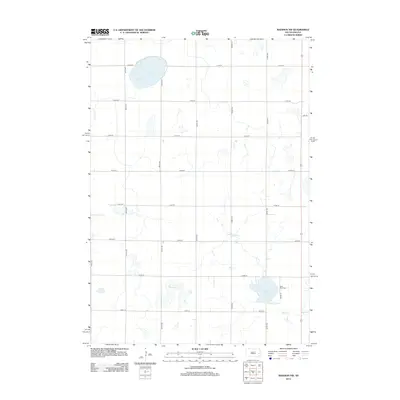
2012 Map of Madison NW
USGS Topo · Published 2012About this map
Lake Badus and the adjacent Saint Anns Cem anchor the southeastern corner of this Lake County landscape, illustrating the enduring local landmarks of Wayne Township. The terrain is defined by a series of significant water bodies, including Spring Lake in the northwest and the centrally located Dry Lake, which are interconnected by the winding path of Battle Cr. This 2012 survey shows a highly structured section-line road network, where routes like Co Hwy 37 and 450th Ave divide the agricultural plains into a precise grid. The placement of these rural cemeteries and named lakes among the section lines provides a clear view of the area's spatial organization and its reliance on these natural basins for drainage and local geography.
Find a feature on this map
21 named features on this map. Tap any name to fly to it.
Don’t see what you’re looking for? This feature index may not catch every label — zoom into the map to look around manually.
Map Details
Editions of this 2012 Madison NW Map
This is the sole edition of this map. No revisions or reprints were ever made.
Other maps of this area

1953 · Watertown
USGS Topo · 1:250,000

1958 · Watertown
USGS Topo · 1:250,000

1968 · Lake Sinai
USGS Topo · 1:24,000

1968 · Lake Preston East
USGS Topo · 1:24,000

1968 · Arlington
USGS Topo · 1:24,000

1968 · Ramona
USGS Topo · 1:24,000

1968 · Madison
USGS Topo · 1:24,000

1968 · Sinai
USGS Topo · 1:24,000

1968 · Oldham
USGS Topo · 1:24,000

1968 · Oldham SE
USGS Topo · 1:24,000
Featured Places
- Wayne Township, SD
- Lake Sinai Township, SD
- Spring Lake Hutterite Colony, SD
- Nunda Township, SD
- Badus Township, SD