
1939 Map of Madison West
USGS Topo · Published 1939About this map
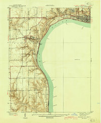
Hanover College overlooks a sharp bend in the Ohio River on this pre-war survey of Jefferson County. The terrain is defined by dramatic elevation changes where the river has carved deep into the limestone, creating a series of waterfalls including Deadman Falls, Horseshoe Falls, and Butler Falls. To the north, the growing city of Madison is visible near Clifty Falls State Park, while the southern reaches of the map show the agricultural bottomlands of Lee Bottom and the rural community of Saluda.
Find a feature on this map
53 named features on this map. Tap any name to fly to it.
Don’t see what you’re looking for? This feature index may not catch every label — zoom into the map to look around manually.
Map Details
Editions of this 1939 Madison West Map
3 editions found
Other maps of this area

1939 · Bethlehem
USGS Topo · 1:24,000

1948 · Bethlehem
USGS Topo · 1:24,000

1948 · Madison West
USGS Topo · 1:24,000

1953 · Madison West
USGS Topo · 1:24,000

1953 · Bedford
USGS Topo · 1:24,000

1953 · Madison East
USGS Topo · 1:24,000

1953 · Bethlehem
USGS Topo · 1:24,000

1956 · Volga
USGS Topo · 1:24,000

1956 · Kent
USGS Topo · 1:24,000

1956 · Clifty Falls
USGS Topo · 1:24,000