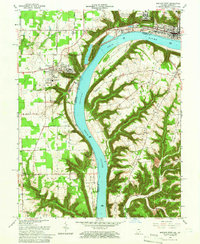
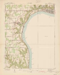
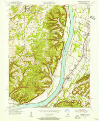
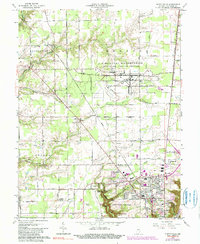
1964 Map of Madison West
USGS Topo · Published 1966This historical map portrays the area of Madison West in 1964, primarily covering Jefferson County as well as portions of Jefferson County and Kentucky. Featuring a scale of 1:24000, this map provides a highly detailed snapshot of the terrain, roads, buildings, counties, and historical landmarks in the Madison West region at the time. Published in 1966, it is one of 5 known editions of this map due to revisions or reprints.
Find a feature on this map
69 named features on this map. Tap any name to fly to it.
Don’t see what you’re looking for? This feature index may not catch every label — zoom into the map to look around manually.
Map Details
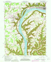
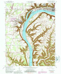
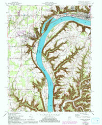
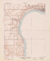
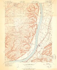
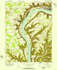
Editions of this 1964 Madison West Map
5 editions found
Historical Maps of Antioch Grange Through Time
12 maps found
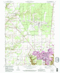
1939 Madison West
Jefferson County, IN
1948 Madison West
Jefferson County, IN
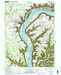
1951 Kosmosdale
Jefferson County, IN
1953 Madison West
Jefferson County, IN
1955 Kosmosdale
Jefferson County, IN
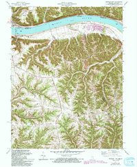
1956 Clifty Falls
Jefferson County, IN
1956 Volga
Jefferson County, IN
1960 Kosmosdale
Jefferson County, IN
1964 Clifty Falls
Jefferson County, IN
1964 Madison West
Jefferson County, IN
1971 Madison East
Jefferson County, IN
1992 Clifty Falls
Jefferson County, IN