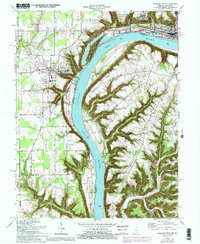
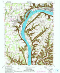
1964 Map of Madison West
USGS Topo · Published 1993About this map
The Ohio River cuts a deep valley through the limestone bluffs of Jefferson County, defining the industrial and institutional landscape of the mid-1960s. High on the western plateau, Hanover College overlooks the river's bend, situated near the town of Hanover. The map reveals a high concentration of state and local infrastructure, from the Clifty Creek Powerplant and its associated industrial piles to the expansive grounds of the Madison State Hospital on the northern bluffs.
Find a feature on this map
48 named features on this map. Tap any name to fly to it.
Don’t see what you’re looking for? This feature index may not catch every label — zoom into the map to look around manually.
Map Details
Editions of this 1964 Madison West Map
5 editions found
Other maps of this area

1939 · Bethlehem
USGS Topo · 1:24,000

1939 · Madison West
USGS Topo · 1:24,000

1948 · Bethlehem
USGS Topo · 1:24,000

1948 · Madison West
USGS Topo · 1:24,000

1953 · Madison West
USGS Topo · 1:24,000

1953 · Bedford
USGS Topo · 1:24,000

1953 · Madison East
USGS Topo · 1:24,000

1953 · Bethlehem
USGS Topo · 1:24,000

1956 · Volga
USGS Topo · 1:24,000

1956 · Kent
USGS Topo · 1:24,000