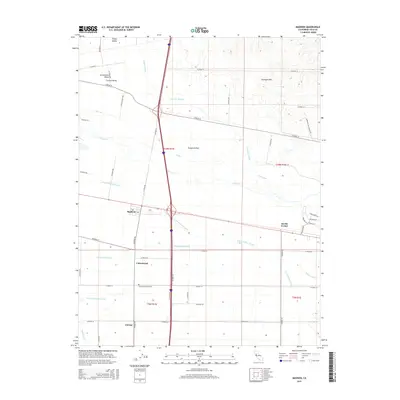
2015 Map of Madison
USGS Topo · Published 2015About this map
The agricultural landscape of the Sacramento Valley and Central Valley is defined here by a sophisticated network of irrigation and natural drainage. Water management is central to the area's identity, with the Winters Canal, W Canal, and Alder Canal distributing resources across the flat valley floor, while natural features like Cache Cr and S Fork Willow Slough meander toward the Dunnigan Hills. These watercourses dictate the placement of local settlements and the orientation of the rigid road grid.
Find a feature on this map
52 named features on this map. Tap any name to fly to it.
Don’t see what you’re looking for? This feature index may not catch every label — zoom into the map to look around manually.
Map Details
Editions of this 2015 Madison Map
This is the sole edition of this map. No revisions or reprints were ever made.
Other maps of this area

1905 · Esparto
USGS Topo · 1:24,000

1907 · Dunnigan
USGS Topo · 1:62,500

1907 · Woodland
USGS Topo · 1:62,500

1915 · Yolo
USGS Topo · 1:31,680

1915 · Ronda
USGS Topo · 1:31,680

1915 · Merritt
USGS Topo · 1:31,680

1916 · Jacobs Corner
USGS Topo · 1:31,680

1916 · Zamora
USGS Topo · 1:31,680

1916 · Winters
USGS Topo · 1:31,680

1916 · Esparto
USGS Topo · 1:31,680