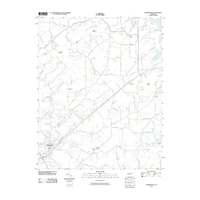
2010 Map of Madisonville
USGS Topo · Published 2010About this map
Madisonville serves as the central hub of this survey, where the street grid transitions into a network of rural routes named for the families and destinations they connect. The landscape is defined by the sharp ridges of the Bat Creek Knobs and Turkeypen Ridge, while the eastern edge is shaped by the waters of Tellico Lake. This 2010 edition records a high density of ancestral sites, including the Hiwassee Cemetery, Old Lutheran Cemetery, and Kimbrough Cemetery. The road network reflects long-standing migration and commerce patterns, with major thoroughfares like Nile Ferry Rd and Old Loudon Rd cutting through the terrain. From the heights of Negro Ridge to the waters near Crowder Bluff, the map preserves the exact placement of homesteads, rural schools, and infrastructure like the Craighead Dam as they stood at the start of the decade.
Find a feature on this map
75 named features on this map. Tap any name to fly to it.
Don’t see what you’re looking for? This feature index may not catch every label — zoom into the map to look around manually.
Map Details
Editions of this 2010 Madisonville Map
This is the sole edition of this map. No revisions or reprints were ever made.
Other maps of this area

1893 · Murphy
USGS Topo · 1:125,000

1895 · Loudon
USGS Topo · 1:125,000

1914 · Murphy
USGS Topo · 1:125,000

1933 · Haw Knob
USGS Topo · 1:48,000

1933 · Rafter
USGS Topo · 1:24,000

1934 · Mount Vernon
USGS Topo · 1:24,000

1934 · Englewood
USGS Topo · 1:24,000

1935 · Tellico
USGS Topo · 1:48,000

1935 · Meadow
USGS Topo · 1:24,000

1935 · Philadelphia
USGS Topo · 1:24,000