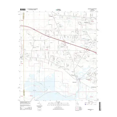
2015 Map of Madisonville
USGS Topo · Published 2015About this map
Madisonville and the winding Tchefuncte River dominate this coastal Louisiana landscape as it appeared in the mid-2010s. The town's historical roots are evident in the concentration of burial grounds such as the Madisonville Cem, Dendinger Cem, and Helping Hands Cem near Houltonville. North of the shoreline, the community of Goodbee sits at a crossroads near Daussin Cem, while the western edge of Covington begins to emerge near the confluence of Soap and Tallow Br.
Find a feature on this map
104 named features on this map. Tap any name to fly to it.
Don’t see what you’re looking for? This feature index may not catch every label — zoom into the map to look around manually.
Map Details
Editions of this 2015 Madisonville Map
This is the sole edition of this map. No revisions or reprints were ever made.
Other maps of this area

1935 · Covington
USGS Topo · 1:62,500

1935 · Ponchatoula
USGS Topo · 1:62,500

1939 · Ponchatoula
USGS Topo · 1:62,500

1939 · Covington
USGS Topo · 1:62,500

1942 · Onville
USGS Topo · 1:31,680

1942 · Waldheim
USGS Topo · 1:31,680

1942 · Robert
USGS Topo · 1:31,680

1950 · Covington
USGS Topo · 1:62,500

1951 · Ponchatoula
USGS Topo · 1:62,500

1954 · Folsom
USGS Topo · 1:62,500