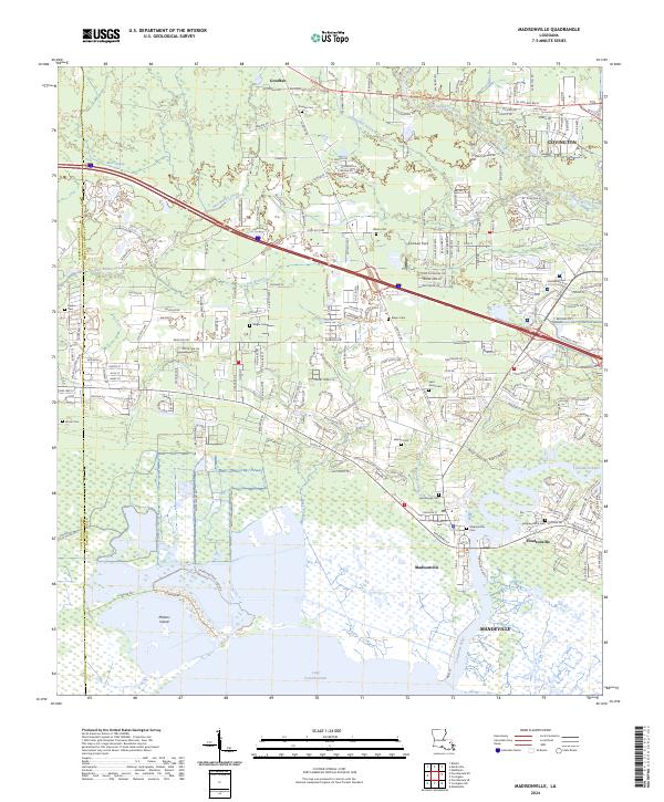
2024 Map of Madisonville
USGS Topo · Published 2024About this map
The Tchefuncte River winds through this St. Tammany Parish landscape, anchoring the historical development of Madisonville and Houltonville as they meet Lake Pontchartrain. The map documents a blend of residential growth and established family sites, particularly evident in the high density of small burial grounds like Daussin Cem and Galatas Cem that dot the wooded outskirts of Goodbee and Covington.
Find a feature on this map
38 named features on this map. Tap any name to fly to it.
Don’t see what you’re looking for? This feature index may not catch every label — zoom into the map to look around manually.
Map Details
Editions of this 2024 Madisonville Map
This is the sole edition of this map. No revisions or reprints were ever made.
Other maps of this area

1935 · Covington
USGS Topo · 1:62,500

1935 · Ponchatoula
USGS Topo · 1:62,500

1939 · Ponchatoula
USGS Topo · 1:62,500

1939 · Covington
USGS Topo · 1:62,500

1942 · Onville
USGS Topo · 1:31,680

1942 · Waldheim
USGS Topo · 1:31,680

1942 · Robert
USGS Topo · 1:31,680

1950 · Covington
USGS Topo · 1:62,500

1951 · Ponchatoula
USGS Topo · 1:62,500

1954 · Folsom
USGS Topo · 1:62,500