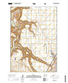
2020 Map of Madras West
USGS Topo · Published 2020About this map
Madras sits at the eastern edge of this landscape, characterized by the dramatic transition from the industrial and civic center of the Jefferson County Courthouse to the complex canyon systems of the west. The local economy is represented by the Jefferson Plywood Company Mill Pond, while the agricultural character of the region is evident on the Agency Plains and Little Agency Plains. Significant water management and conservation areas dominate the western half of the map, including the Pelton Regulating Reservoir and portions of the Crooked River National Grassland.
Find a feature on this map
73 named features on this map. Tap any name to fly to it.
Don’t see what you’re looking for? This feature index may not catch every label — zoom into the map to look around manually.
Map Details
Editions of this 2020 Madras West Map
This is the sole edition of this map. No revisions or reprints were ever made.
Other maps of this area

1928 · Madras
USGS Topo · 1:125,000

1931 · Madras
USGS Topo · 1:125,000

1955 · Bend
USGS Topo · 1:250,000

1957 · Bend
USGS Topo · 1:250,000

1958 · Bend
USGS Topo · 1:250,000

1962 · Eagle Butte
USGS Topo · 1:24,000
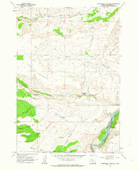
1962 · Seekseequa Junction
USGS Topo · 1:24,000

1962 · Gateway
USGS Topo · 1:24,000
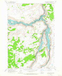
1962 · Round Butte Dam
USGS Topo · 1:24,000
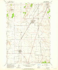
1963 · Culver
USGS Topo · 1:24,000