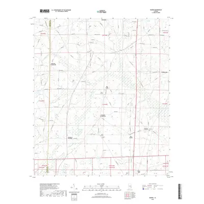
2018 Map of Madrid
USGS Topo · Published 2018About this map
Rehobeth and Madrid anchor this corner of Houston County, where the Alabama landscape meets the Florida state line. The terrain is defined by a dense network of small tributaries and ponds, including Singletarys Pond, Open Pond, and the winding Cypress Cr. This 2018 survey reveals a rural infrastructure of named intersections like Merritts Crossroads and Garretts Crossroads, reflecting a settlement pattern based on local road junctions rather than concentrated urban centers. For genealogists, the map is particularly valuable for its precise locations of family and community burial grounds, such as Saint Phillips Cem, Lassiter Cem, and Registers Cem. The presence of Southern Junction and Pratt Landing further illustrates the historical importance of transport and water access in this agricultural region.
Find a feature on this map
122 named features on this map. Tap any name to fly to it.
Don’t see what you’re looking for? This feature index may not catch every label — zoom into the map to look around manually.
Map Details
Editions of this 2018 Madrid Map
This is the sole edition of this map. No revisions or reprints were ever made.
Other maps of this area

1942 · Enterprise
USGS Topo · 1:125,000

1951 · Graceville
USGS Topo · 1:24,000

1952 · Campbellton
USGS Topo · 1:24,000

1952 · Sills
USGS Topo · 1:24,000

1953 · Dothan
USGS Topo · 1:250,000

1954 · Dothan
USGS Topo · 1:250,000

1954 · Tallahassee
USGS Topo · 1:250,000

1955 · Dothan
USGS Topo · 1:250,000

1957 · Malvern
USGS Topo · 1:24,000

1957 · Hartford
USGS Topo · 1:62,500