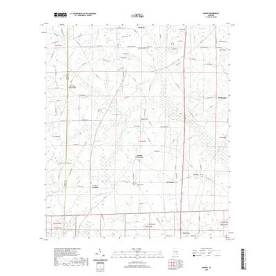
2020 Map of Madrid
USGS Topo · Published 2020About this map
The town of Madrid and the surrounding agricultural lands of Houston County are captured here just north of the State Line. This southern Alabama landscape is defined by its small farming communities and the intricate drainage of the Chipola Cr and Double Bridges Cr systems. Historically significant crossroads like Merritts Crossroads and Garretts Crossroads anchor the rural road network, reflecting the settlement patterns that have persisted for generations.
Find a feature on this map
119 named features on this map. Tap any name to fly to it.
Don’t see what you’re looking for? This feature index may not catch every label — zoom into the map to look around manually.
Map Details
Editions of this 2020 Madrid Map
This is the sole edition of this map. No revisions or reprints were ever made.
Other maps of this area

1942 · Enterprise
USGS Topo · 1:125,000

1951 · Graceville
USGS Topo · 1:24,000

1952 · Campbellton
USGS Topo · 1:24,000

1952 · Sills
USGS Topo · 1:24,000

1953 · Dothan
USGS Topo · 1:250,000

1954 · Dothan
USGS Topo · 1:250,000

1954 · Tallahassee
USGS Topo · 1:250,000

1955 · Dothan
USGS Topo · 1:250,000

1957 · Malvern
USGS Topo · 1:24,000

1957 · Hartford
USGS Topo · 1:62,500