2024 Map of Madrid
USGS Topo · Published 2024About this map
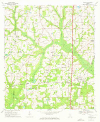
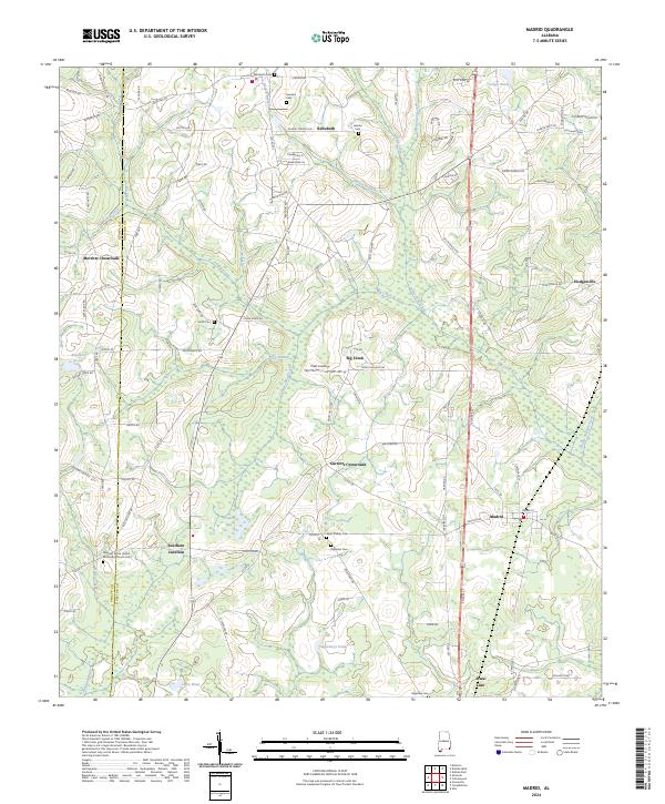
Madrid and Rehobeth anchor this landscape along the Geneva Co Houston Co line, where the southern Alabama coastal plain meets the Florida border. The area is defined by a dense network of crossroads communities such as Merritts Crossroads and Garretts Crossroads, alongside the notable hub at Southern Junction. Numerous family and community burial grounds, including Smith Cem and the Pleasant Grove United Methodist Church Cem, are distributed throughout the terrain, providing significant touchpoints for local genealogical research. The hydrology of the region is characterized by slow-moving water bodies like Big Creek, Spring Creek, and Registers Pond, which likely supported the early agricultural development of these rural townships. These features, coupled with the proximity of the State Line at the southern margin, reflect the deep-rooted settlement patterns and land use of the Wiregrass region.
Find a feature on this map
122 named features on this map. Tap any name to fly to it.
Don’t see what you’re looking for? This feature index may not catch every label — zoom into the map to look around manually.
Map Details
Editions of this 2024 Madrid Map
This is the sole edition of this map. No revisions or reprints were ever made.