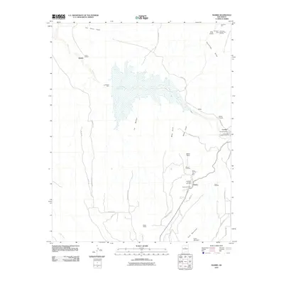
2010 Map of Madrid
USGS Topo · Published 2010About this map
The high-desert coal mining landscape of Santa Fe County is meticulously detailed in this survey centered on Madrid. Known historically for its coal production, the town is shown here surrounded by the legacy of its industrial past, with Anthracite Number Eight Mine, the White Ash Mine, and the Evelyn Coal Mine marking the terrain. To the north, the settlement of Cerrillos sits along Galisteo Creek, accompanied by its Cerrillos Post Office and the Los Cerrillos Protestant Cemetery.
Find a feature on this map
44 named features on this map. Tap any name to fly to it.
Don’t see what you’re looking for? This feature index may not catch every label — zoom into the map to look around manually.
Map Details
Editions of this 2010 Madrid Map
This is the sole edition of this map. No revisions or reprints were ever made.
Other maps of this area

1892 · San Pedro
USGS Topo · 1:125,000

1892 · Santa Clara
USGS Topo · 1:125,000

1951 · Turquoise Hill
USGS Topo · 1:24,000

1952 · Turquoise Hill
USGS Topo · 1:24,000

1953 · Santo Domingo Pueblo
USGS Topo · 1:24,000

1953 · Tetilla Peak
USGS Topo · 1:24,000

1953 · Agua Fria
USGS Topo · 1:62,500

1953 · Santo Domingo Pueblo
USGS Topo · 1:62,500

1954 · San Felipe Pueblo NE
USGS Topo · 1:24,000

1954 · Hagan
USGS Topo · 1:24,000