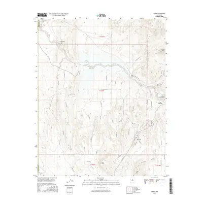
2017 Map of Madrid
USGS Topo · Published 2017About this map
The high desert landscape of central New Mexico is defined by its rugged topography and the essential waters of Galisteo Creek and Galisteo Reservoir. This modern survey details the area around the historic mining settlements of Los Cerrillos and Rosario, where the geography transitions into the striking Cerrillos Hills and the prominent Devils Throne. The map is particularly useful for genealogists, as it identifies several burial sites including the Madrid Cem, Rosario Cem, and Los Cerrillos Protestant Cem.
Find a feature on this map
72 named features on this map. Tap any name to fly to it.
Don’t see what you’re looking for? This feature index may not catch every label — zoom into the map to look around manually.
Map Details
Editions of this 2017 Madrid Map
This is the sole edition of this map. No revisions or reprints were ever made.
Other maps of this area

1892 · San Pedro
USGS Topo · 1:125,000

1892 · Santa Clara
USGS Topo · 1:125,000

1951 · Turquoise Hill
USGS Topo · 1:24,000

1952 · Turquoise Hill
USGS Topo · 1:24,000

1953 · Santo Domingo Pueblo
USGS Topo · 1:24,000

1953 · Tetilla Peak
USGS Topo · 1:24,000

1953 · Agua Fria
USGS Topo · 1:62,500

1953 · Santo Domingo Pueblo
USGS Topo · 1:62,500

1954 · San Felipe Pueblo NE
USGS Topo · 1:24,000

1954 · Hagan
USGS Topo · 1:24,000