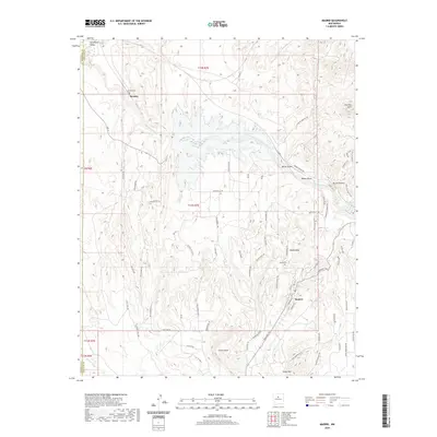
2020 Map of Madrid
USGS Topo · Published 2020About this map
The high desert landscape of Santa Fe County is defined by its deep arroyos and dramatic mesas, anchored by the community of Madrid. Once a bustling coal mining town, this area transitions from the prominent Waldo Mesa toward the southern heights of Cedar Mtn. The terrain is carved by ephemeral waterways like Galisteo Creek and Arroyo Largo, which have shaped the settlement patterns and road networks over decades.
Find a feature on this map
76 named features on this map. Tap any name to fly to it.
Don’t see what you’re looking for? This feature index may not catch every label — zoom into the map to look around manually.
Map Details
Editions of this 2020 Madrid Map
This is the sole edition of this map. No revisions or reprints were ever made.
Other maps of this area

1892 · San Pedro
USGS Topo · 1:125,000

1892 · Santa Clara
USGS Topo · 1:125,000

1951 · Turquoise Hill
USGS Topo · 1:24,000

1952 · Turquoise Hill
USGS Topo · 1:24,000

1953 · Santo Domingo Pueblo
USGS Topo · 1:24,000

1953 · Tetilla Peak
USGS Topo · 1:24,000

1953 · Agua Fria
USGS Topo · 1:62,500

1953 · Santo Domingo Pueblo
USGS Topo · 1:62,500

1954 · San Felipe Pueblo NE
USGS Topo · 1:24,000

1954 · Hagan
USGS Topo · 1:24,000