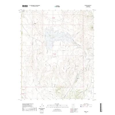
2023 Map of Madrid
USGS Topo · Published 2023About this map
Madrid and Los Cerrillos anchor this detailed study of the Ortiz Mountains' northern foothills, revealing a landscape defined by traditional settlements and rugged geography. The map illustrates the specialized road networks that serve the area's diverse terrain, from the Waldo Mesa to the drainage of Galisteo Creek. Genealogy researchers will find the location of the Madrid Cem particularly valuable, situated just north of the town center near Waldo Mesa Rd. Notable topographic landmarks such as Devils Throne and the Cerrillos Hills dominate the northeastern sector, while the southern reaches are marked by the prominent height of Cerro Chato. The network of residential and access roads, including Old Madrid Rd and Rogersville Rd, reflects the modern residential footprint of these historic mining-era communities.
Find a feature on this map
70 named features on this map. Tap any name to fly to it.
Don’t see what you’re looking for? This feature index may not catch every label — zoom into the map to look around manually.
Map Details
Editions of this 2023 Madrid Map
This is the sole edition of this map. No revisions or reprints were ever made.
Other maps of this area

1892 · San Pedro
USGS Topo · 1:125,000

1892 · Santa Clara
USGS Topo · 1:125,000

1951 · Turquoise Hill
USGS Topo · 1:24,000

1952 · Turquoise Hill
USGS Topo · 1:24,000

1953 · Santo Domingo Pueblo
USGS Topo · 1:24,000

1953 · Tetilla Peak
USGS Topo · 1:24,000

1953 · Agua Fria
USGS Topo · 1:62,500

1953 · Santo Domingo Pueblo
USGS Topo · 1:62,500

1954 · San Felipe Pueblo NE
USGS Topo · 1:24,000

1954 · Hagan
USGS Topo · 1:24,000