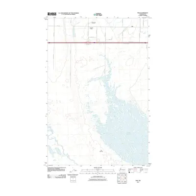
2011 Map of Mae
USGS Topo · Published 2011About this map
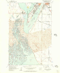
The Potholes dominate the landscape of central Grant County, showcasing a complex geomorphology of depressions and water bodies that define this portion of the Columbia Basin. By the early 21st century, the northern reach of the Potholes Reservoir had established a vast network of wetlands and small islands that stretch south from the settlement of Mae. This area is characterized by a transition from the agricultural grid and small residential clusters like Hiawatha Valley in the north to the increasingly intricate aquatic terrain of the reservoir. The presence of the Moses Lake Sky Ranch near the upper margin suggests the specialized local aviation and recreation history associated with the region's unique topography and the development of the nearby water resources.
Find a feature on this map
21 named features on this map. Tap any name to fly to it.
Don’t see what you’re looking for? This feature index may not catch every label — zoom into the map to look around manually.
Map Details
Editions of this 2011 Mae Map
This is the sole edition of this map. No revisions or reprints were ever made.
Other maps of this area
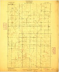
1910 · Winchester
USGS Topo · 1:62,500
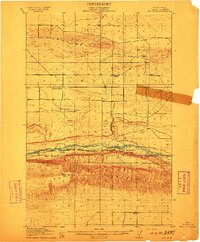
1911 · Red Rock
USGS Topo · 1:62,500
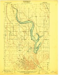
1912 · Moses Lake
USGS Topo · 1:62,500
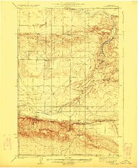
1923 · Corfu
USGS Topo · 1:62,500
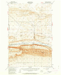
1950 · Smyrna
USGS Topo · 1:62,500
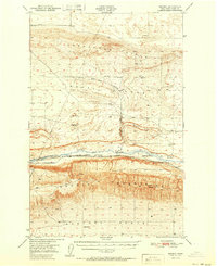
1951 · Smyrna
USGS Topo · 1:62,500
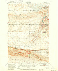
1951 · Corfu
USGS Topo · 1:62,500
1953 · Walla Walla
USGS Topo · 1:250,000
1953 · Ritzville
USGS Topo · 1:250,000
1956 · Moses Lake South
USGS Topo · 1:24,000