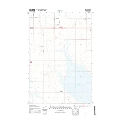
2014 Map of Mae
USGS Topo · Published 2014About this map
Mae sits in the northeastern corner of this Grant County landscape, where the agricultural grid of the Columbia Basin meets the distinctive topography of the channeled scablands. The southern portion of the area is dominated by the sprawling waters of the Potholes Reservoir, a central feature of the local irrigation system. This complex aquatic landscape, known as The Potholes, is characterized by hundreds of small islands and fingers of land created by the rising water table following the construction of the O'Sullivan Dam. The terrain is marked by significant geographic depressions including Hiawatha Valley and Mae Valley, which provide natural conduits for local travel. A dense network of rural roads, such as Mae Valley Rd NE and Hiawatha Rd NE, connects the farmsteads and allows for the transport of crops across this managed desert environment.
Find a feature on this map
29 named features on this map. Tap any name to fly to it.
Don’t see what you’re looking for? This feature index may not catch every label — zoom into the map to look around manually.
Map Details
Editions of this 2014 Mae Map
This is the sole edition of this map. No revisions or reprints were ever made.
Other maps of this area

1910 · Winchester
USGS Topo · 1:62,500

1911 · Red Rock
USGS Topo · 1:62,500

1912 · Moses Lake
USGS Topo · 1:62,500

1923 · Corfu
USGS Topo · 1:62,500

1950 · Smyrna
USGS Topo · 1:62,500

1951 · Smyrna
USGS Topo · 1:62,500

1951 · Corfu
USGS Topo · 1:62,500

1953 · Walla Walla
USGS Topo · 1:250,000

1953 · Ritzville
USGS Topo · 1:250,000

1956 · Moses Lake South
USGS Topo · 1:24,000