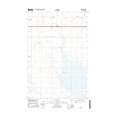
2017 Map of Mae
USGS Topo · Published 2017About this map
Mae and the surrounding Mae Valley define this portion of Grant County, where the high desert landscape meets the intricate shoreline of the Potholes Reservoir. The 2017 survey reveals a grid of rural roads and township boundaries, including t19n r27e and t18n r27e, that carve through the open terrain of Hiawatha Valley. This map documents a unique hydrologic environment where the northern reaches of the reservoir create a complex network of small islands and inlets, a result of the Columbia Basin Project's irrigation infrastructure. Researchers can trace the modern development of local thoroughfares like Mae Valley Rd Ne and Hiawatha Rd Ne as they connect these agricultural and lakeside communities.
Find a feature on this map
21 named features on this map. Tap any name to fly to it.
Don’t see what you’re looking for? This feature index may not catch every label — zoom into the map to look around manually.
Map Details
Editions of this 2017 Mae Map
This is the sole edition of this map. No revisions or reprints were ever made.
Other maps of this area

1910 · Winchester
USGS Topo · 1:62,500

1911 · Red Rock
USGS Topo · 1:62,500

1912 · Moses Lake
USGS Topo · 1:62,500

1923 · Corfu
USGS Topo · 1:62,500

1950 · Smyrna
USGS Topo · 1:62,500

1951 · Smyrna
USGS Topo · 1:62,500

1951 · Corfu
USGS Topo · 1:62,500

1953 · Walla Walla
USGS Topo · 1:250,000

1953 · Ritzville
USGS Topo · 1:250,000

1956 · Moses Lake South
USGS Topo · 1:24,000