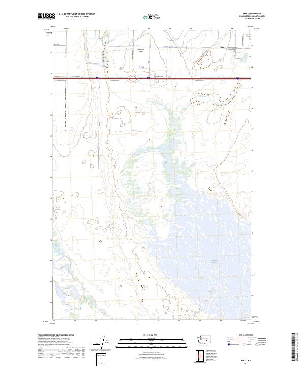
2023 Map of Mae
USGS Topo · Published 2023About this map
The irrigated landscape of central Washington is defined by the expansive Potholes Reservoir and the Winchester Wasteway, which dominate the southern half of this area. In the north, the small settlements of Mae and Mae Valley sit nestled within a grid of agricultural roads, including Mae Valley Rd NE and Stoneridge Rd NE. This modern survey illustrates the complex water management infrastructure essential to the region, featuring Canal W 20 and the distinct topography of Hiawatha Valley. The map details the transition from high-desert valley floors to the vast wetlands and inlets created by the reservoir system, providing a clear view of the rural homesteads and transport corridors that intersect the Columbia Basin Project's reach.
Find a feature on this map
27 named features on this map. Tap any name to fly to it.
Don’t see what you’re looking for? This feature index may not catch every label — zoom into the map to look around manually.
Map Details
Editions of this 2023 Mae Map
This is the sole edition of this map. No revisions or reprints were ever made.
Other maps of this area

1910 · Winchester
USGS Topo · 1:62,500

1911 · Red Rock
USGS Topo · 1:62,500

1912 · Moses Lake
USGS Topo · 1:62,500

1923 · Corfu
USGS Topo · 1:62,500

1950 · Smyrna
USGS Topo · 1:62,500

1951 · Smyrna
USGS Topo · 1:62,500

1951 · Corfu
USGS Topo · 1:62,500

1953 · Walla Walla
USGS Topo · 1:250,000

1953 · Ritzville
USGS Topo · 1:250,000

1956 · Moses Lake South
USGS Topo · 1:24,000