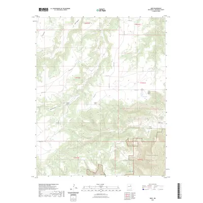
2023 Map of Maes
USGS Topo · Published 2023About this map
Juan Torres Cem stands as a focal point for family history in this corner of San Miguel County, located just south of the distinctive Juan Torres Lake. The landscape is defined by an intricate network of drainage systems, including Cañon Vegocito and Cañon Largo, which carve through the high mesa country. These geographical features dictated the placement of early ranching infrastructure and local routes like Co RD c53a. To the south, the protected expanse of the Sabinoso Wilderness preserves the complex terrain of Cañon Silva and Cañon Lucero, where the deep canyons offer a look at the region's primitive character. This survey illustrates how the rugged topography of north-central New Mexico has shaped land use from early settlement through modern conservation efforts.
Find a feature on this map
27 named features on this map. Tap any name to fly to it.
Don’t see what you’re looking for? This feature index may not catch every label — zoom into the map to look around manually.
Map Details
Editions of this 2023 Maes Map
This is the sole edition of this map. No revisions or reprints were ever made.
Other maps of this area

1892 · Watrous
USGS Topo · 1:125,000

1894 · Watrous
USGS Topo · 1:125,000

1954 · Santa Fe
USGS Topo · 1:250,000

1958 · Santa Fe
USGS Topo · 1:250,000

1964 · Frutosa Lake
USGS Topo · 1:24,000

1964 · Canon Ancho
USGS Topo · 1:24,000

1971 · Trujillo
USGS Topo · 1:24,000

1971 · Alamito
USGS Topo · 1:24,000

1971 · Canon Olguin
USGS Topo · 1:24,000
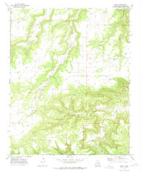
1972 · Maes
USGS Topo · 1:24,000