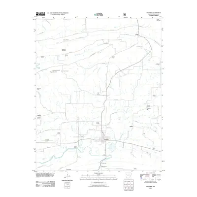
2011 Map of Magazine
USGS Topo · Published 2011About this map
Magazine stands as the primary hub of this Logan County landscape, situated just north of a sharp bend in the Petit Jean River. The area is characterized by a dense network of family and community landmarks, including numerous burial grounds like Ellington Cemetery and Barn Hill Cemetery that speak to the long-standing settlement of these Arkansas foothills. North of the river, the terrain rises toward Backbone Mountain and Hickory Ridge, where the industrial footprint of the Magazine Gas Field reflects the region's energy resources.
Find a feature on this map
78 named features on this map. Tap any name to fly to it.
Don’t see what you’re looking for? This feature index may not catch every label — zoom into the map to look around manually.
Map Details
Editions of this 2011 Magazine Map
This is the sole edition of this map. No revisions or reprints were ever made.
Other maps of this area

1879 · Mountain Home
USGS Topo · 1:62,500

1887 · Magazine Mountain #1
USGS Topo · 1:62,500

1887 · Magazine Mountain #4
USGS Topo · 1:62,500

1887 · Magazine Mountain #2
USGS Topo · 1:62,500

1887 · Magazine Mountain #3
USGS Topo · 1:62,500

1887 · Magazine Mountain
USGS Topo · 1:62,500

1890 · Magazine Mountain
USGS Topo · 1:125,000

1934 · Booneville
USGS Topo · 1:48,000

1939 · Booneville
USGS Topo · 1:62,500

1956 · Russellville
USGS Topo · 1:250,000