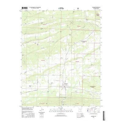
2017 Map of Magazine
USGS Topo · Published 2017About this map
Magazine anchors this portion of Logan County, situated between the southern edge of the Ozark National Forest and the winding Petit Jean River. The landscape is defined by parallel ridges like Backbone Mtn, Hickory Ridge, and Potts Ridge, creating a series of valleys such as Whiteoak Valley and Fox Valley. This topography has historically dictated the settlement patterns and road networks that connect the town to outlying communities like Driggs.
Find a feature on this map
98 named features on this map. Tap any name to fly to it.
Don’t see what you’re looking for? This feature index may not catch every label — zoom into the map to look around manually.
Map Details
Editions of this 2017 Magazine Map
This is the sole edition of this map. No revisions or reprints were ever made.
Other maps of this area

1879 · Mountain Home
USGS Topo · 1:62,500

1887 · Magazine Mountain #1
USGS Topo · 1:62,500

1887 · Magazine Mountain #4
USGS Topo · 1:62,500

1887 · Magazine Mountain #2
USGS Topo · 1:62,500

1887 · Magazine Mountain #3
USGS Topo · 1:62,500

1887 · Magazine Mountain
USGS Topo · 1:62,500

1890 · Magazine Mountain
USGS Topo · 1:125,000

1934 · Booneville
USGS Topo · 1:48,000

1939 · Booneville
USGS Topo · 1:62,500

1956 · Russellville
USGS Topo · 1:250,000