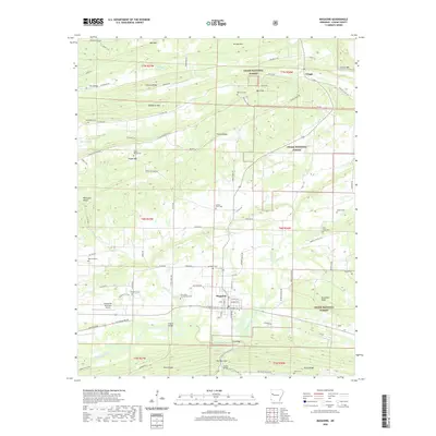
2020 Map of Magazine
USGS Topo · Published 2020About this map
The town of Magazine serves as a central hub in this Logan County landscape, where the valley floor transitions into the elevated ridges of the Ozark National Forest. The area is characterized by a dense network of family-named cemeteries and rural routes, reflecting a deeply rooted community structure. To the south, the Petit Jean River meanders through the terrain, crossed by notable structures such as Kilburn Bridge and First Bridge near The Narrows.
Find a feature on this map
99 named features on this map. Tap any name to fly to it.
Don’t see what you’re looking for? This feature index may not catch every label — zoom into the map to look around manually.
Map Details
Editions of this 2020 Magazine Map
This is the sole edition of this map. No revisions or reprints were ever made.
Other maps of this area

1879 · Mountain Home
USGS Topo · 1:62,500

1887 · Magazine Mountain #1
USGS Topo · 1:62,500

1887 · Magazine Mountain #4
USGS Topo · 1:62,500

1887 · Magazine Mountain #2
USGS Topo · 1:62,500

1887 · Magazine Mountain #3
USGS Topo · 1:62,500

1887 · Magazine Mountain
USGS Topo · 1:62,500

1890 · Magazine Mountain
USGS Topo · 1:125,000

1934 · Booneville
USGS Topo · 1:48,000

1939 · Booneville
USGS Topo · 1:62,500

1956 · Russellville
USGS Topo · 1:250,000