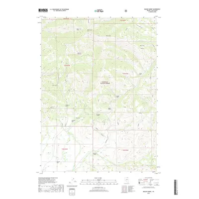
2018 Map of Maggie Summit
USGS Topo · Published 2018About this map
Bull Run Mountains dominate this high-elevation region of Elko County, where the landscape is defined by a complex network of gulches and summits. Within the bounds of the Humboldt National Forest, the terrain rises toward Pennsylvania Hill and Maggie Summit, while drainages like Silver Cr and Bull Run Creek carve out distinct valleys. The map shows a high concentration of backcountry roads and tracks, including named routes such as White Rock Creek Rd and the Haystack Shortcut, which serve the various basins and canyons.
Find a feature on this map
48 named features on this map. Tap any name to fly to it.
Don’t see what you’re looking for? This feature index may not catch every label — zoom into the map to look around manually.
Map Details
Editions of this 2018 Maggie Summit Map
This is the sole edition of this map. No revisions or reprints were ever made.
Other maps of this area

1936 · Mountain City
USGS Topo · 1:62,500

1939 · Owyhee
USGS Topo · 1:62,500

1940 · Mountain City
USGS Topo · 1:62,500

1942 · Owyhee
USGS Topo · 1:62,500

1955 · McDermitt
USGS Topo · 1:250,000

1955 · Wells
USGS Topo · 1:250,000

1956 · Bull Run
USGS Topo · 1:62,500

1956 · Wild Horse
USGS Topo · 1:62,500

1958 · Wells
USGS Topo · 1:250,000

1959 · McDermitt
USGS Topo · 1:250,000