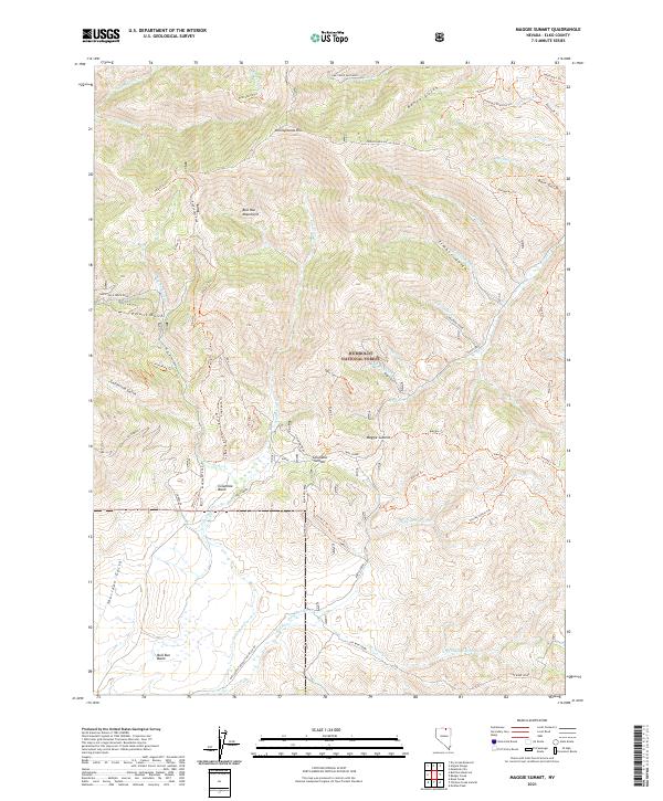
2021 Map of Maggie Summit
USGS Topo · Published 2021About this map
The Bull-Run Mountains anchor this high-altitude section of the Humboldt National Forest in Elko County. The landscape is defined by its drainage systems and ridgelines, with numerous basins like Columbia Basin and Bull-Run Basin providing focal points for the surrounding topography. A complex network of trails and primitive roads, including Blue Jacket Road and White Rock Creek Road, reveals the area's history as a place of transit and exploration. Named features such as Pennsylvania Hill and Maggie Summit suggest early mining or ranching influences, while the naming of Polaris Gulch and California Gulch hints at the specific prospecting eras that once drew people to these remote canyons. Water is seasonal yet central to the land's organization, with Columbia Cr and Doby George Cr carving paths through the high terrain.
Find a feature on this map
67 named features on this map. Tap any name to fly to it.
Don’t see what you’re looking for? This feature index may not catch every label — zoom into the map to look around manually.
Map Details
Editions of this 2021 Maggie Summit Map
This is the sole edition of this map. No revisions or reprints were ever made.
Other maps of this area

1936 · Mountain City
USGS Topo · 1:62,500

1939 · Owyhee
USGS Topo · 1:62,500

1940 · Mountain City
USGS Topo · 1:62,500

1942 · Owyhee
USGS Topo · 1:62,500

1955 · McDermitt
USGS Topo · 1:250,000

1955 · Wells
USGS Topo · 1:250,000

1956 · Bull Run
USGS Topo · 1:62,500

1956 · Wild Horse
USGS Topo · 1:62,500

1958 · Wells
USGS Topo · 1:250,000

1959 · McDermitt
USGS Topo · 1:250,000