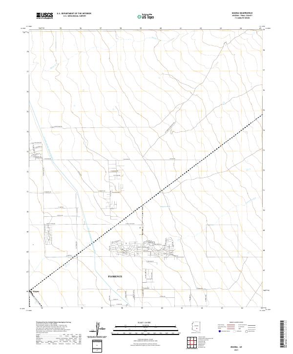
2021 Map of Magma
USGS Topo · Published 2021About this map
Florence serves as a focal point in this section of Pinal County, where the desert landscape is defined by modern water management and growing residential pockets. The massive Central Arizona Project Aqueduct cuts through the terrain, a critical piece of infrastructure running north-to-south. Ephemeral watercourses such as Queen Cr, Magma Wash, and Cottonwood Cr carve through the dry earth, reflecting the natural drainage patterns of the region.
Find a feature on this map
56 named features on this map. Tap any name to fly to it.
Don’t see what you’re looking for? This feature index may not catch every label — zoom into the map to look around manually.
Map Details
Editions of this 2021 Magma Map
This is the sole edition of this map. No revisions or reprints were ever made.
Other maps of this area

1900 · Florence
USGS Topo · 1:125,000

1902 · Florence
USGS Topo · 1:125,000

1904 · Desert Well
USGS Topo · 1:62,500

1906 · Desert Well
USGS Topo · 1:62,500

1907 · Sacaton
USGS Topo · 1:62,500

1954 · Mesa
USGS Topo · 1:250,000

1956 · Sacaton NE
USGS Topo · 1:24,000

1956 · Magma
USGS Topo · 1:24,000

1956 · Desert Well
USGS Topo · 1:24,000
1956 · Superstition Mts. SW
USGS Topo · 1:24,000