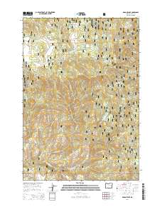
2014 Map of Magone Lake
USGS Topo · Published 2014About this map
Magone Lake serves as a central landmark in this high-elevation landscape within the Malhuer National Forest. The area is defined by a dense network of mountain hydrology, where numerous named water sources like Deadman Spring, Telephone Spring, and Hi Yu Spring feed into systems such as Lake Cr and Long Cr. This 2014 survey documents the complex forest management infrastructure of the early 21st century, mapping a labyrinth of access routes including Natl Forest Develop Road 3945 Rd and Keeney Forks Rd.
Find a feature on this map
49 named features on this map. Tap any name to fly to it.
Don’t see what you’re looking for? This feature index may not catch every label — zoom into the map to look around manually.
Map Details
Editions of this 2014 Magone Lake Map
This is the sole edition of this map. No revisions or reprints were ever made.
Other maps of this area

1940 · Mount Vernon
USGS Topo · 1:62,500

1940 · John Day
USGS Topo · 1:62,500

1943 · John Day
USGS Topo · 1:62,500

1943 · Mount Vernon
USGS Topo · 1:62,500

1949 · Long Creek
USGS Topo · 1:62,500

1949 · Susanville
USGS Topo · 1:62,500

1951 · Susanville
USGS Topo · 1:62,500

1951 · Long Creek
USGS Topo · 1:62,500

1955 · Canyon City
USGS Topo · 1:250,000

1959 · Canyon City
USGS Topo · 1:250,000