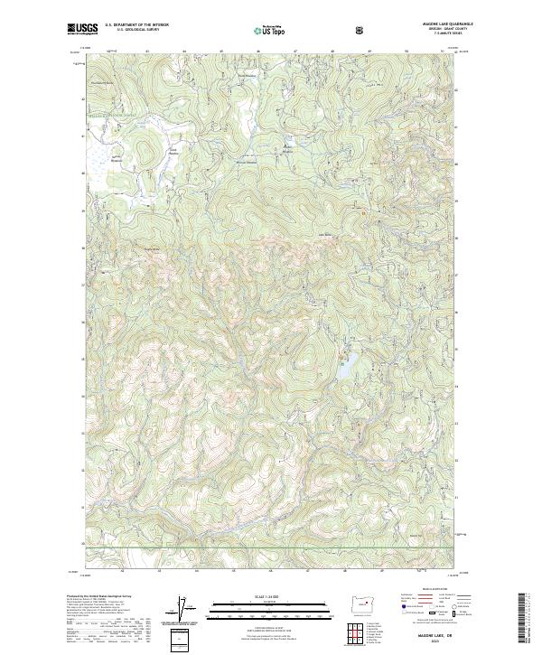
2023 Map of Magone Lake
USGS Topo · Published 2023About this map
Malheur National Forest encompasses the high-elevation terrain of this Grant County region, where a dense network of springs and creeks feeds the upper tributaries of the East Fork Beech Creek. The landscape is defined by its numerous meadows, such as Clark Meadow and Keeney Meadows, which appear as breaks in the forested slopes between prominent summits like Jonas Mtn and Lake Butte.
Find a feature on this map
39 named features on this map. Tap any name to fly to it.
Don’t see what you’re looking for? This feature index may not catch every label — zoom into the map to look around manually.
Map Details
Editions of this 2023 Magone Lake Map
This is the sole edition of this map. No revisions or reprints were ever made.
Other maps of this area

1940 · Mount Vernon
USGS Topo · 1:62,500

1940 · John Day
USGS Topo · 1:62,500

1943 · John Day
USGS Topo · 1:62,500

1943 · Mount Vernon
USGS Topo · 1:62,500

1949 · Long Creek
USGS Topo · 1:62,500

1949 · Susanville
USGS Topo · 1:62,500

1951 · Susanville
USGS Topo · 1:62,500

1951 · Long Creek
USGS Topo · 1:62,500

1955 · Canyon City
USGS Topo · 1:250,000

1959 · Canyon City
USGS Topo · 1:250,000